Latitude: 52.9752 / 52°58'30"N
Longitude: -0.1069 / 0°6'24"W
OS Eastings: 527211
OS Northings: 343656
OS Grid: TF272436
Mapcode National: GBR JWC.HSM
Mapcode Global: WHHLP.BHB0
Pluscode: 9C4XXVGV+36
What3Words: downward.dusty.dialects
Is the location marker in the wrong place? You can help fix that!
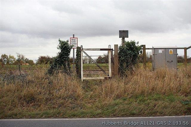
We don't yet have any user-contributed photos of A1121 (Hubberts Bridge) Level Crossing.