Latitude: 51.3181 / 51°19'4"N
Longitude: 0.4526 / 0°27'9"E
OS Eastings: 571008
OS Northings: 160517
OS Grid: TQ710605
Mapcode National: GBR PQK.789
Mapcode Global: VHJM5.S4MD
Pluscode: 9F328F93+62
What3Words: lunch.pothole.nips
Is the location marker in the wrong place? You can help fix that!
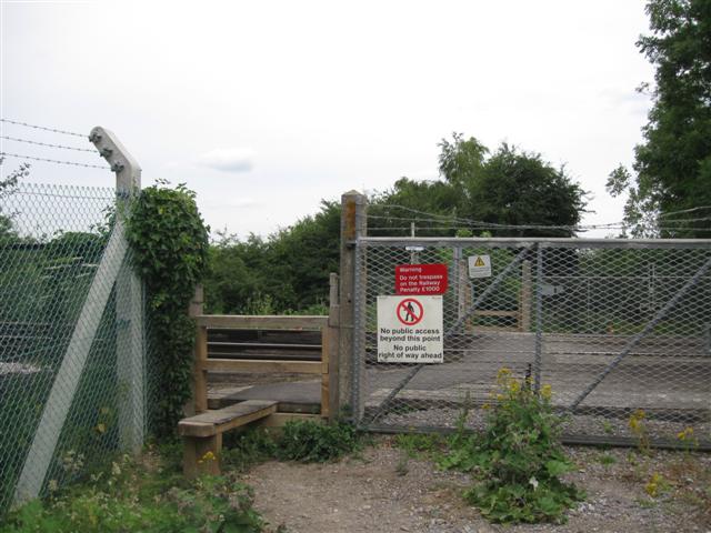
We don't yet have any user-contributed photos of Abbey Meads Level Crossing.