Latitude: 51.8195 / 51°49'10"N
Longitude: -3.0088 / 3°0'31"W
OS Eastings: 330563
OS Northings: 213908
OS Grid: SO305139
Mapcode National: GBR F6.WD9R
Mapcode Global: VH796.SJRK
Pluscode: 9C3RRX9R+QF
What3Words: forms.working.washroom
Is the location marker in the wrong place? You can help fix that!
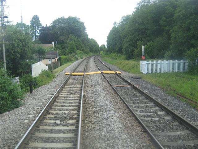
We don't yet have any user-contributed photos of Abergavenny Rural No. 7 Level Crossing.