Latitude: 51.9637 / 51°57'49"N
Longitude: -1.2753 / 1°16'31"W
OS Eastings: 449885
OS Northings: 229717
OS Grid: SP498297
Mapcode National: GBR 7V2.VSY
Mapcode Global: VHCWN.VX40
Pluscode: 9C3WXP7F+FV
What3Words: cheer.trooper.schematic
Is the location marker in the wrong place? You can help fix that!
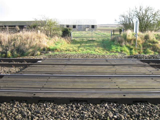
We don't yet have any user-contributed photos of Abernethys Level Crossing.