Latitude: 51.7899 / 51°47'23"N
Longitude: -3.9874 / 3°59'14"W
OS Eastings: 263021
OS Northings: 212006
OS Grid: SN630120
Mapcode National: GBR DW.YHKS
Mapcode Global: VH4JH.T8VQ
Pluscode: 9C3RQ2Q7+X2
What3Words: screening.falls.moats
Is the location marker in the wrong place? You can help fix that!
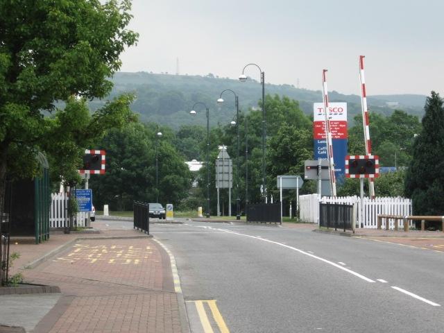
We don't yet have any user-contributed photos of Ammanford Relief Rd Level Crossing.