Latitude: 53.5956 / 53°35'44"N
Longitude: -2.5757 / 2°34'32"W
OS Eastings: 361996
OS Northings: 411156
OS Grid: SD619111
Mapcode National: GBR BVGV.5T
Mapcode Global: WH97L.DWQF
Pluscode: 9C5VHCWF+6P
What3Words: radiating.hairstyle.officers
Is the location marker in the wrong place? You can help fix that!
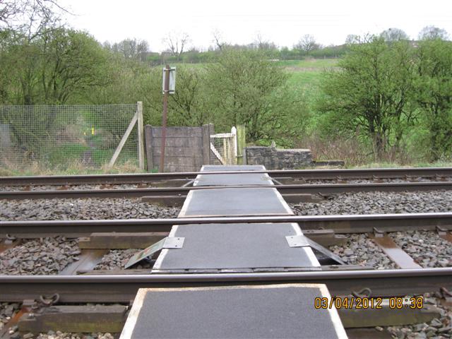
We don't yet have any user-contributed photos of Anderton Hall Level Crossing.