Latitude: 52.0594 / 52°3'33"N
Longitude: -2.512 / 2°30'43"W
OS Eastings: 364994
OS Northings: 240239
OS Grid: SO649402
Mapcode National: GBR FV.DHHH
Mapcode Global: VH85S.DHWL
Pluscode: 9C4V3F5Q+Q6
What3Words: uppermost.stalemate.scouting
Is the location marker in the wrong place? You can help fix that!
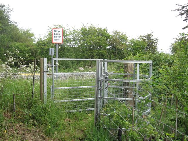
We don't yet have any user-contributed photos of Ashperton Level Crossing.