Latitude: 52.4041 / 52°24'14"N
Longitude: -2.8989 / 2°53'55"W
OS Eastings: 338944
OS Northings: 278832
OS Grid: SO389788
Mapcode National: GBR BB.PP0F
Mapcode Global: VH76C.PTVX
Pluscode: 9C4VC432+JF
What3Words: drawn.caressed.golf
Is the location marker in the wrong place? You can help fix that!
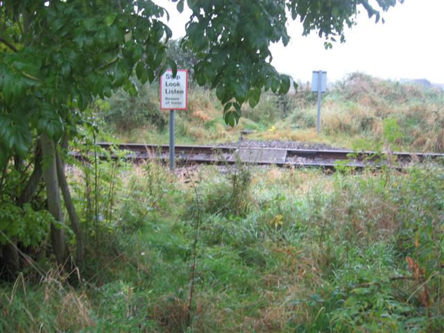
We don't yet have any user-contributed photos of Bason No1 Level Crossing.