Latitude: 50.9506 / 50°57'2"N
Longitude: 0.4834 / 0°29'0"E
OS Eastings: 574535
OS Northings: 119733
OS Grid: TQ745197
Mapcode National: GBR PW1.91V
Mapcode Global: FRA C6XL.L4D
Pluscode: 9F22XF2M+69
What3Words: bonfires.handsets.ghosts
Is the location marker in the wrong place? You can help fix that!
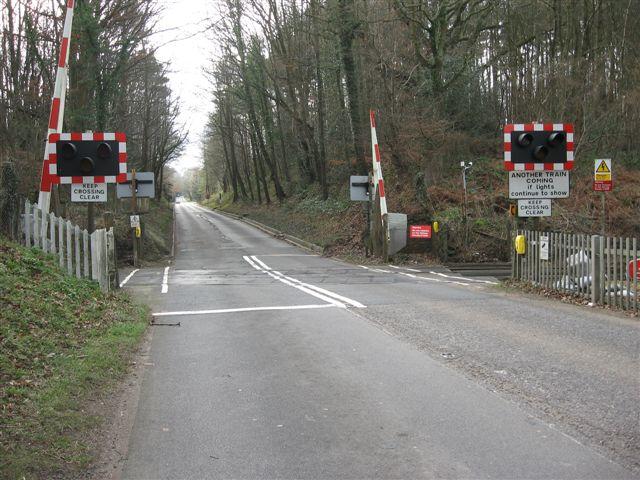
We don't yet have any user-contributed photos of Battle Road Level Crossing.