Latitude: 53.7498 / 53°44'59"N
Longitude: -0.7449 / 0°44'41"W
OS Eastings: 482864
OS Northings: 428884
OS Grid: SE828288
Mapcode National: GBR RT72.JK
Mapcode Global: WHFDF.J0JP
Pluscode: 9C5XP7X4+W3
What3Words: fulfilled.conga.interviewer
Is the location marker in the wrong place? You can help fix that!
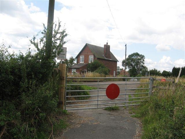
We don't yet have any user-contributed photos of Bennetland Level Crossing.