Latitude: 52.378 / 52°22'40"N
Longitude: -1.2752 / 1°16'30"W
OS Eastings: 449432
OS Northings: 275799
OS Grid: SP494757
Mapcode National: GBR 7P1.VT5
Mapcode Global: VHCTQ.VH6C
Pluscode: 9C4W9PHF+6W
What3Words: hook.photos.folds
Is the location marker in the wrong place? You can help fix that!
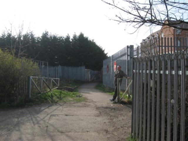
We don't yet have any user-contributed photos of Black Path Level Crossing.