Latitude: 57.6173 / 57°37'2"N
Longitude: -3.6058 / 3°36'20"W
OS Eastings: 304175
OS Northings: 859721
OS Grid: NJ041597
Mapcode National: GBR K8GL.H05
Mapcode Global: WH5H4.LS5X
Pluscode: 9C9RJ98V+WM
What3Words: easels.remix.thrusters
Is the location marker in the wrong place? You can help fix that!
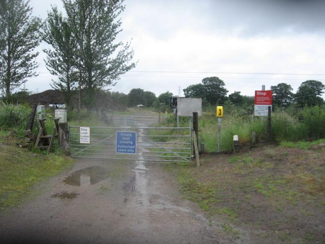
We don't yet have any user-contributed photos of Bogton Nursery Level Crossing.