Latitude: 52.0371 / 52°2'13"N
Longitude: -0.5737 / 0°34'25"W
OS Eastings: 497929
OS Northings: 238588
OS Grid: SP979385
Mapcode National: GBR F1V.CRC
Mapcode Global: VHFQS.02K6
Pluscode: 9C4X2CPG+RG
What3Words: query.scrapping.rank
Is the location marker in the wrong place? You can help fix that!
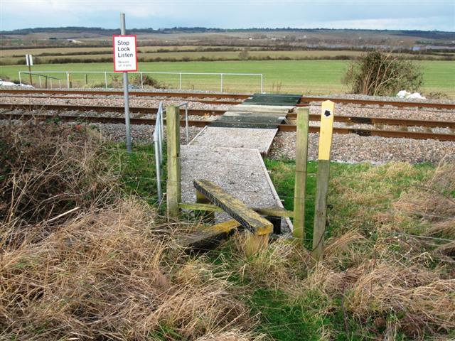
We don't yet have any user-contributed photos of Broughton End Level Crossing.