Latitude: 52.6846 / 52°41'4"N
Longitude: -1.8079 / 1°48'28"W
OS Eastings: 413080
OS Northings: 309676
OS Grid: SK130096
Mapcode National: GBR 4DN.RQH
Mapcode Global: WHCGP.6SB8
Pluscode: 9C4WM5MR+RR
What3Words: list.until.sits
Is the location marker in the wrong place? You can help fix that!
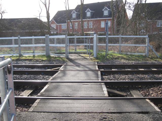
We don't yet have any user-contributed photos of Burton Old Road Level Crossing.