Latitude: 52.6243 / 52°37'27"N
Longitude: -3.7452 / 3°44'42"W
OS Eastings: 281963
OS Northings: 304381
OS Grid: SH819043
Mapcode National: GBR 96.7QKD
Mapcode Global: WH68G.F9TG
Pluscode: 9C4RJ7F3+PW
What3Words: arose.rewarded.applied
Is the location marker in the wrong place? You can help fix that!
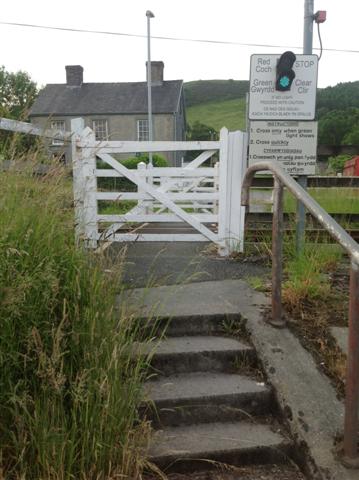
We don't yet have any user-contributed photos of Cemmaes Road Level Crossing.