Latitude: 51.3151 / 51°18'54"N
Longitude: 0.9149 / 0°54'53"E
OS Eastings: 603231
OS Northings: 161364
OS Grid: TR032613
Mapcode National: GBR SW4.J3V
Mapcode Global: VHKJW.T61P
Pluscode: 9F328W87+2X
What3Words: scan.movements.dolls
Is the location marker in the wrong place? You can help fix that!
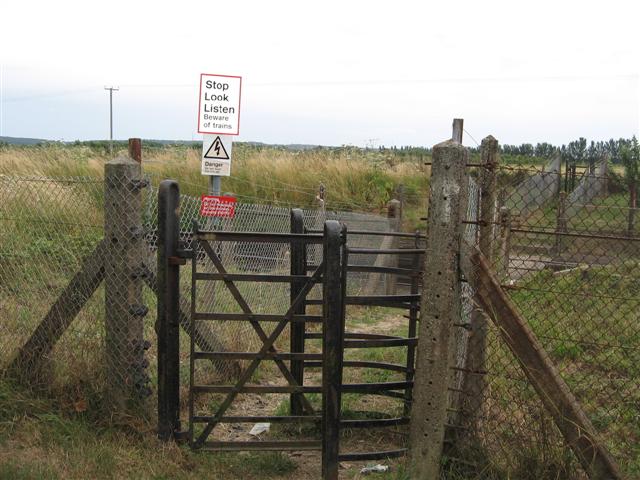
We don't yet have any user-contributed photos of Chambers Level Crossing.