Latitude: 50.8784 / 50°52'42"N
Longitude: -1.4305 / 1°25'49"W
OS Eastings: 440165
OS Northings: 108924
OS Grid: SU401089
Mapcode National: GBR 76P.Z0F
Mapcode Global: FRA 76WS.BJR
Pluscode: 9C2WVHH9+9R
What3Words: liver.hype.trip
Is the location marker in the wrong place? You can help fix that!
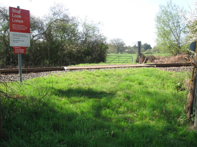
We don't yet have any user-contributed photos of Church Farm No.2 Level Crossing.