Latitude: 54.6141 / 54°36'50"N
Longitude: -1.0598 / 1°3'35"W
OS Eastings: 460818
OS Northings: 524728
OS Grid: NZ608247
Mapcode National: GBR PH12.CR
Mapcode Global: WHF80.P9J4
Pluscode: 9C6WJW7R+J3
What3Words: files.overnight.noses
Is the location marker in the wrong place? You can help fix that!
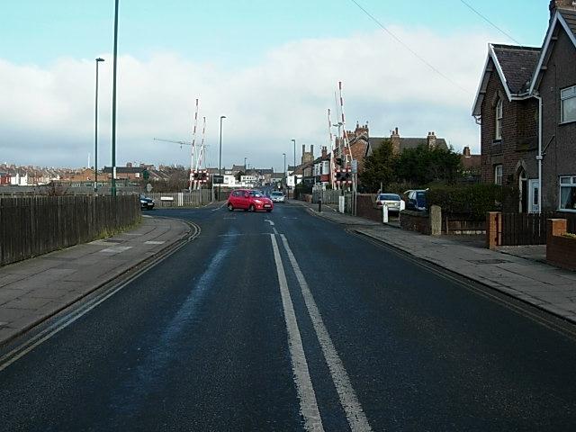
We don't yet have any user-contributed photos of Church Lane Level Crossing.