Latitude: 52.3957 / 52°23'44"N
Longitude: -2.9088 / 2°54'31"W
OS Eastings: 338257
OS Northings: 277912
OS Grid: SO382779
Mapcode National: GBR BB.Q0KG
Mapcode Global: VH76K.J1LR
Pluscode: 9C4V93WR+7F
What3Words: daring.deduct.depths
Is the location marker in the wrong place? You can help fix that!
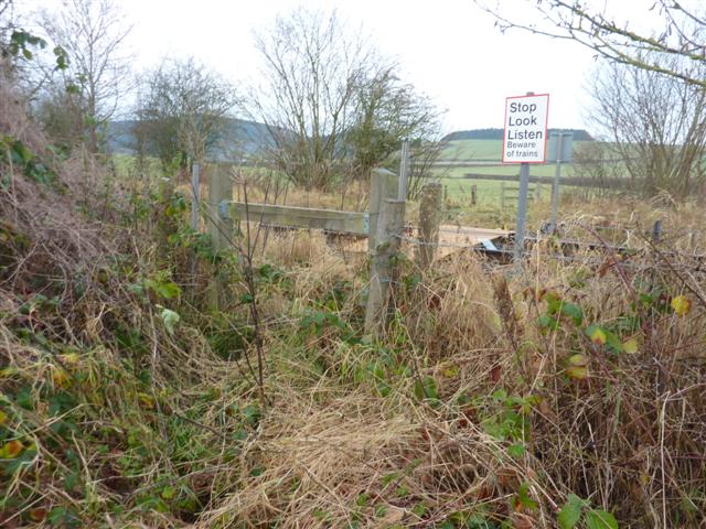
We don't yet have any user-contributed photos of Clungunford Level Crossing.