Latitude: 58.0372 / 58°2'13"N
Longitude: -3.8358 / 3°50'8"W
OS Eastings: 291705
OS Northings: 906808
OS Grid: NC917068
Mapcode National: GBR J7WH.5P9
Mapcode Global: WH5F3.17QZ
Pluscode: 9CCR25P7+VM
What3Words: handicaps.widen.down
Is the location marker in the wrong place? You can help fix that!
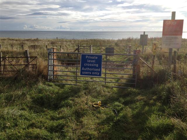
We don't yet have any user-contributed photos of Clynemilton East Level Crossing.