Latitude: 52.6675 / 52°40'3"N
Longitude: -2.758 / 2°45'28"W
OS Eastings: 348833
OS Northings: 308027
OS Grid: SJ488080
Mapcode National: GBR BJ.51NY
Mapcode Global: WH8C0.L6VV
Pluscode: 9C4VM69R+2Q
What3Words: jeeps.locker.easy
Is the location marker in the wrong place? You can help fix that!
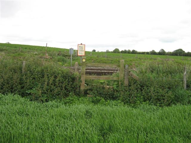
We don't yet have any user-contributed photos of Condover Road Bridge Level Crossing.