Latitude: 52.4695 / 52°28'10"N
Longitude: -2.09 / 2°5'24"W
OS Eastings: 393982
OS Northings: 285733
OS Grid: SO939857
Mapcode National: GBR 4NX.M4
Mapcode Global: VH91J.Q6G6
Pluscode: 9C4VFW95+RX
What3Words: august.headed.butter
Is the location marker in the wrong place? You can help fix that!
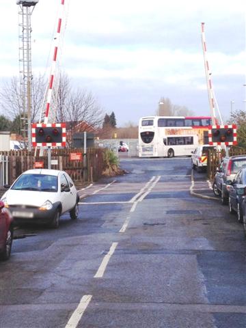
We don't yet have any user-contributed photos of Cradley Heath Level Crossing.