Latitude: 51.1126 / 51°6'45"N
Longitude: -0.1906 / 0°11'26"W
OS Eastings: 526751
OS Northings: 136367
OS Grid: TQ267363
Mapcode National: GBR JKL.0NR
Mapcode Global: VHGSW.N92F
Pluscode: 9C3X4R75+2Q
What3Words: cone.levels.hotels
Is the location marker in the wrong place? You can help fix that!
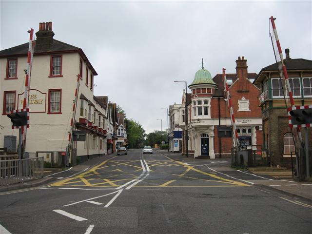
We don't yet have any user-contributed photos of Crawley High Street Level Crossing.