Latitude: 50.8731 / 50°52'23"N
Longitude: -2.7744 / 2°46'27"W
OS Eastings: 345608
OS Northings: 108465
OS Grid: ST456084
Mapcode National: GBR MH.T6Y4
Mapcode Global: FRA 562S.NZ2
Pluscode: 9C2VV6FG+66
What3Words: sums.confined.nicely
Is the location marker in the wrong place? You can help fix that!
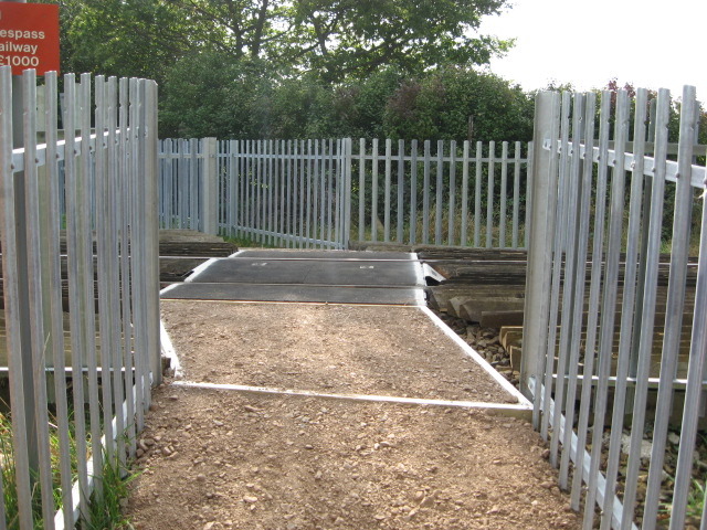
We don't yet have any user-contributed photos of Crewkerne Mill Level Crossing.