Latitude: 53.0635 / 53°3'48"N
Longitude: -2.5099 / 2°30'35"W
OS Eastings: 365926
OS Northings: 351929
OS Grid: SJ659519
Mapcode National: GBR 7T.C2TB
Mapcode Global: WH9BB.F818
Pluscode: 9C5V3F7R+C2
What3Words: bookings.captive.thatched
Is the location marker in the wrong place? You can help fix that!
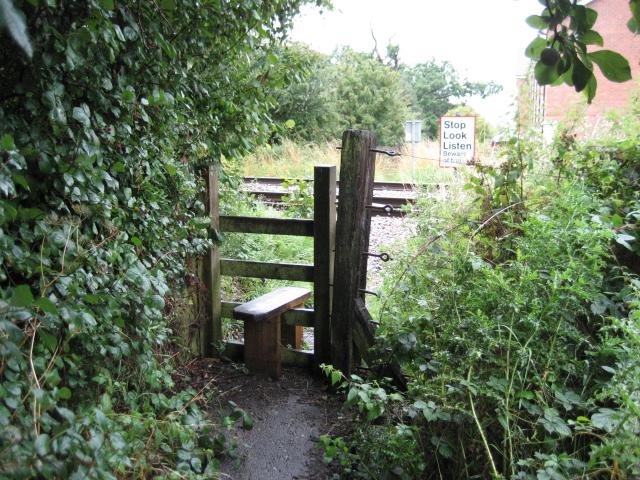
We don't yet have any user-contributed photos of Cronkinsons Level Crossing.