Latitude: 54.1797 / 54°10'46"N
Longitude: -2.9882 / 2°59'17"W
OS Eastings: 335598
OS Northings: 476442
OS Grid: SD355764
Mapcode National: GBR 7NK3.VG
Mapcode Global: WH83K.269L
Pluscode: 9C6V52H6+VP
What3Words: financial.central.immune
Is the location marker in the wrong place? You can help fix that!
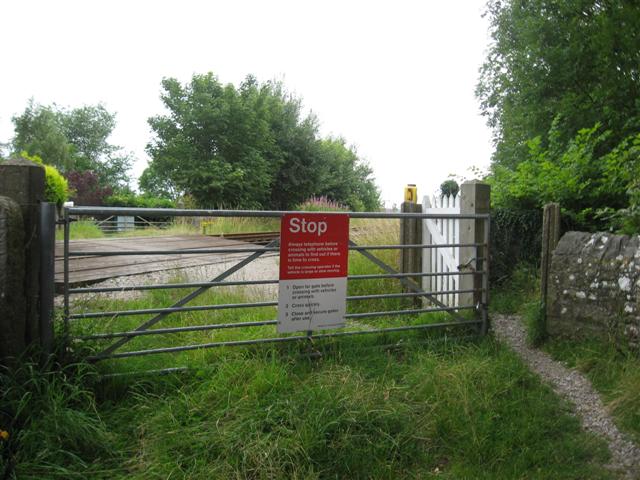
We don't yet have any user-contributed photos of Crook Wheel Level Crossing.