Latitude: 58.0307 / 58°1'50"N
Longitude: -3.8457 / 3°50'44"W
OS Eastings: 291101
OS Northings: 906110
OS Grid: NC911061
Mapcode National: GBR J7WH.M4J
Mapcode Global: WH4CY.WDXX
Pluscode: 9CCR25J3+7P
What3Words: baker.throwaway.scramble
Is the location marker in the wrong place? You can help fix that!
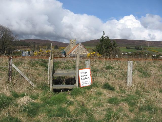
We don't yet have any user-contributed photos of Culgower 2 Level Crossing.