Latitude: 56.4478 / 56°26'51"N
Longitude: -5.3324 / 5°19'56"W
OS Eastings: 194714
OS Northings: 733379
OS Grid: NM947333
Mapcode National: GBR FC6P.47X
Mapcode Global: WH1HL.261D
Pluscode: 9C8PCMX9+43
What3Words: homework.lecturers.cyber
Is the location marker in the wrong place? You can help fix that!
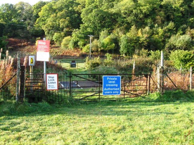
We don't yet have any user-contributed photos of Culnadalloch 2 Level Crossing.