Latitude: 51.8208 / 51°49'15"N
Longitude: -1.0053 / 1°0'19"W
OS Eastings: 468657
OS Northings: 214047
OS Grid: SP686140
Mapcode National: GBR 9ZT.YF1
Mapcode Global: VHDV1.JHDH
Pluscode: 9C3WRXCV+8V
What3Words: decay.fewer.pumps
Is the location marker in the wrong place? You can help fix that!
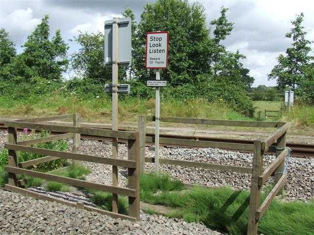
We don't yet have any user-contributed photos of Dorton No.2 Level Crossing.