Latitude: 55.6746 / 55°40'28"N
Longitude: -3.7504 / 3°45'1"W
OS Eastings: 290017
OS Northings: 643729
OS Grid: NS900437
Mapcode National: GBR 227T.VN
Mapcode Global: WH5SK.CMBN
Pluscode: 9C7RM6FX+RR
What3Words: fetch.loses.suspends
Is the location marker in the wrong place? You can help fix that!
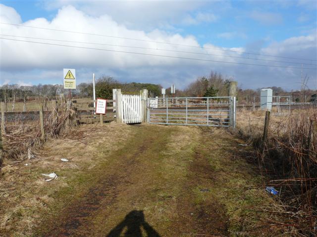
We don't yet have any user-contributed photos of Drove Road Level Crossing.