Latitude: 55.6573 / 55°39'26"N
Longitude: -1.8695 / 1°52'10"W
OS Eastings: 408307
OS Northings: 640425
OS Grid: NU083404
Mapcode National: GBR H3D0.1V
Mapcode Global: WHC0B.820C
Pluscode: 9C7WM44J+W5
What3Words: sprinkle.finer.buyers
Is the location marker in the wrong place? You can help fix that!
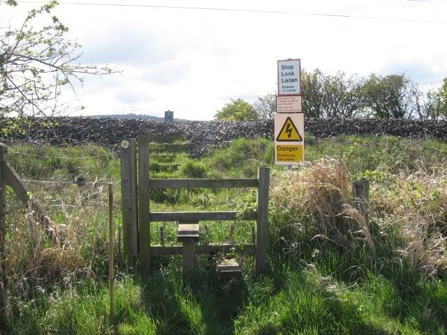
We don't yet have any user-contributed photos of Fenham Burn Level Crossing.