Latitude: 53.7429 / 53°44'34"N
Longitude: -2.9987 / 2°59'55"W
OS Eastings: 334226
OS Northings: 427849
OS Grid: SD342278
Mapcode National: GBR 7TH5.L0
Mapcode Global: WH85N.X56Z
Pluscode: 9C5VP2V2+4G
What3Words: town.barbarian.lure
Is the location marker in the wrong place? You can help fix that!
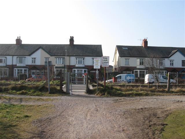
We don't yet have any user-contributed photos of Fishermans Level Crossing.