Latitude: 54.2589 / 54°15'32"N
Longitude: -3.2162 / 3°12'58"W
OS Eastings: 320874
OS Northings: 485488
OS Grid: SD208854
Mapcode National: GBR 5MZ6.H1
Mapcode Global: WH71X.K6QW
Pluscode: 9C6R7Q5M+HG
What3Words: publish.requiring.vowel
Is the location marker in the wrong place? You can help fix that!
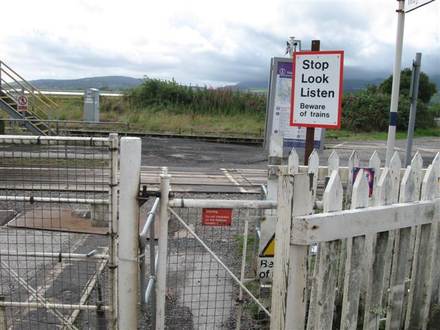
We don't yet have any user-contributed photos of Foxfield Station Level Crossing.