Latitude: 53.3446 / 53°20'40"N
Longitude: -1.9858 / 1°59'8"W
OS Eastings: 401044
OS Northings: 383078
OS Grid: SK010830
Mapcode National: GBR GYKR.WS
Mapcode Global: WHBBC.G6M9
Pluscode: 9C5W82V7+RM
What3Words: contracts.creeps.glares
Is the location marker in the wrong place? You can help fix that!
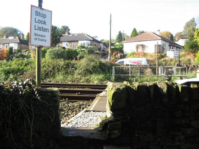
We don't yet have any user-contributed photos of Furness Straight Level Crossing.