Latitude: 53.5849 / 53°35'5"N
Longitude: -2.7459 / 2°44'45"W
OS Eastings: 350715
OS Northings: 410074
OS Grid: SD507100
Mapcode National: GBR 9V8Z.9M
Mapcode Global: WH86K.S5L2
Pluscode: 9C5VH7M3+XJ
What3Words: cringes.toward.runners
Is the location marker in the wrong place? You can help fix that!
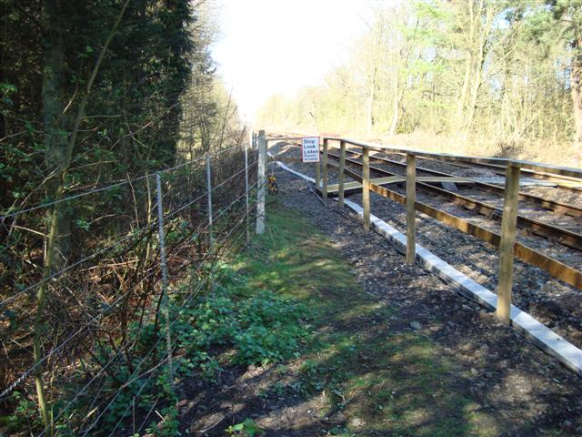
We don't yet have any user-contributed photos of Gillibrands Level Crossing.