Latitude: 51.7401 / 51°44'24"N
Longitude: -5.0062 / 5°0'22"W
OS Eastings: 192540
OS Northings: 208875
OS Grid: SM925088
Mapcode National: GBR G6.TFFY
Mapcode Global: VH1RS.5JRD
Pluscode: 9C3PPXRV+2G
What3Words: insurers.crunches.spill
Is the location marker in the wrong place? You can help fix that!
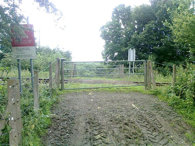
We don't yet have any user-contributed photos of Great Harmeston Level Crossing.