Latitude: 53.4973 / 53°29'50"N
Longitude: -3.0495 / 3°2'58"W
OS Eastings: 330474
OS Northings: 400580
OS Grid: SD304005
Mapcode National: GBR 7X40.L1
Mapcode Global: WH86T.4C37
Pluscode: 9C5RFXW2+W5
What3Words: words.trails.middle
Is the location marker in the wrong place? You can help fix that!
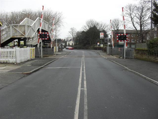
We don't yet have any user-contributed photos of Hall Road Level Crossing.