Latitude: 53.3311 / 53°19'51"N
Longitude: -1.666 / 1°39'57"W
OS Eastings: 422339
OS Northings: 381622
OS Grid: SK223816
Mapcode National: GBR JYTX.3M
Mapcode Global: WHCCN.CJWP
Pluscode: 9C5W88JM+CH
What3Words: upholding.clever.offerings
Is the location marker in the wrong place? You can help fix that!
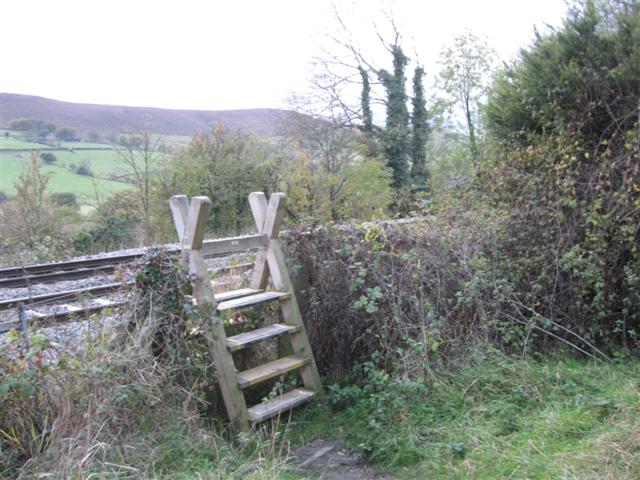
We don't yet have any user-contributed photos of Hathersage West Level Crossing.