Latitude: 52.4605 / 52°27'37"N
Longitude: -1.4776 / 1°28'39"W
OS Eastings: 435593
OS Northings: 284859
OS Grid: SP355848
Mapcode National: GBR HN0.GZ
Mapcode Global: VHBWS.BFQ3
Pluscode: 9C4WFG6C+6X
What3Words: fire.fact.prices
Is the location marker in the wrong place? You can help fix that!
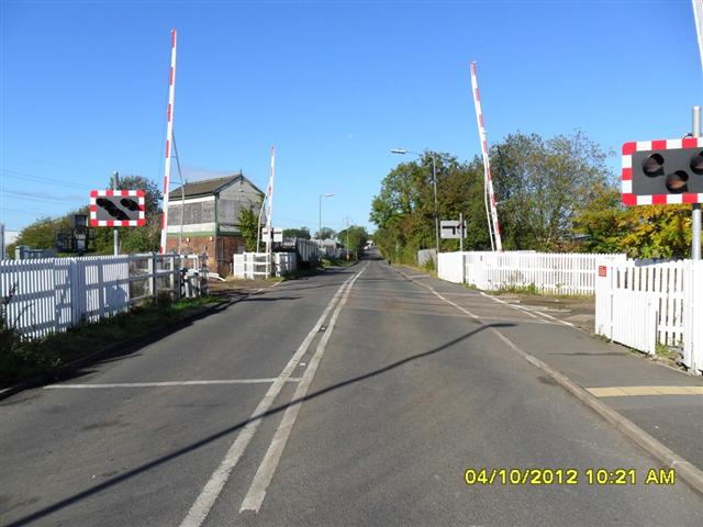
We don't yet have any user-contributed photos of Hawkesbury Lane Level Crossing.