Latitude: 51.5546 / 51°33'16"N
Longitude: -3.7499 / 3°44'59"W
OS Eastings: 278774
OS Northings: 185418
OS Grid: SS787854
Mapcode National: GBR H5.F7GR
Mapcode Global: VH5H7.Y6F2
Pluscode: 9C3RH732+R2
What3Words: obviously.jingles.liability
Is the location marker in the wrong place? You can help fix that!
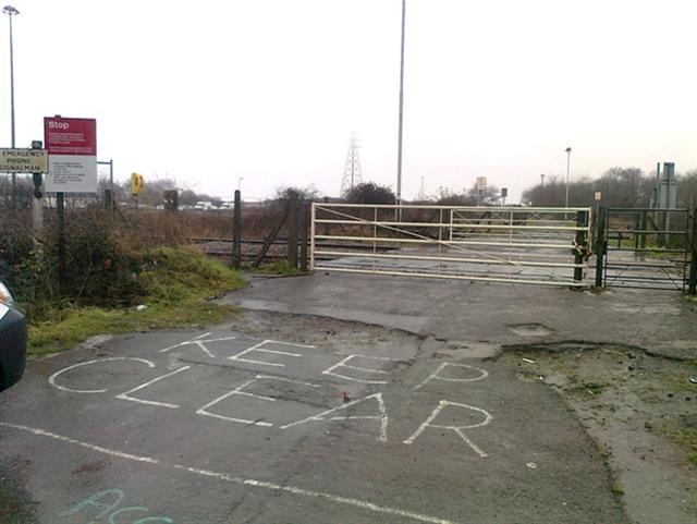
We don't yet have any user-contributed photos of Heol-y-deliaid Level Crossing.