Latitude: 51.5545 / 51°33'16"N
Longitude: -3.7502 / 3°45'0"W
OS Eastings: 278752
OS Northings: 185409
OS Grid: SS787854
Mapcode National: GBR H5.F7DL
Mapcode Global: VH5H7.Y684
Pluscode: 9C3RH63X+RW
What3Words: crackles.tested.sharpen
Is the location marker in the wrong place? You can help fix that!
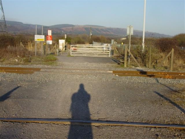
We don't yet have any user-contributed photos of Heol-y-deliaid Level Crossing.