Latitude: 51.0472 / 51°2'49"N
Longitude: -2.8934 / 2°53'36"W
OS Eastings: 337466
OS Northings: 127918
OS Grid: ST374279
Mapcode National: GBR MB.G6ST
Mapcode Global: FRA 46TB.YCL
Pluscode: 9C3V24W4+VJ
What3Words: curious.snacks.magazines
Is the location marker in the wrong place? You can help fix that!
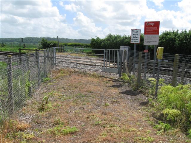
We don't yet have any user-contributed photos of Holly Moor Level Crossing.