Latitude: 51.853 / 51°51'10"N
Longitude: -1.1943 / 1°11'39"W
OS Eastings: 455586
OS Northings: 217466
OS Grid: SP555174
Mapcode National: GBR 8XV.YNP
Mapcode Global: VHCX9.7PYB
Pluscode: 9C3WVR34+67
What3Words: parked.dared.branch
Is the location marker in the wrong place? You can help fix that!
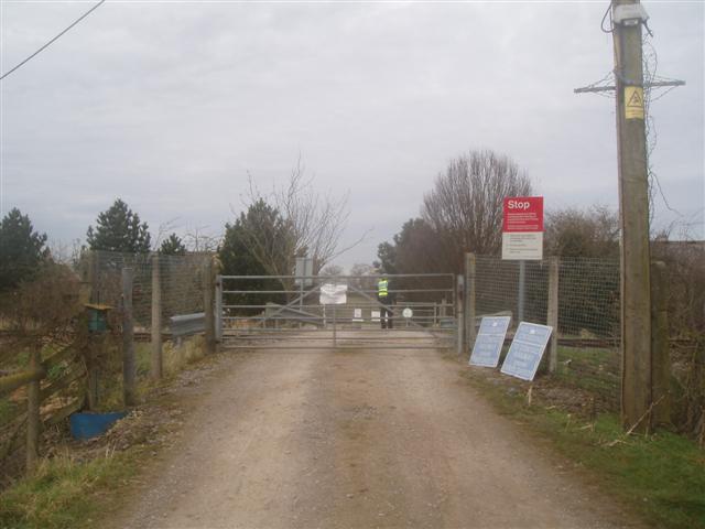
We don't yet have any user-contributed photos of Holts Farm Level Crossing.