Latitude: 52.0228 / 52°1'22"N
Longitude: -0.6107 / 0°36'38"W
OS Eastings: 495427
OS Northings: 236954
OS Grid: SP954369
Mapcode National: GBR F20.2FZ
Mapcode Global: VHFQR.CFJ5
Pluscode: 9C4X29FQ+4P
What3Words: barn.stumpy.dialects
Is the location marker in the wrong place? You can help fix that!
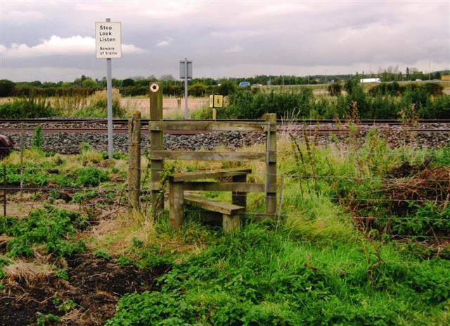
We don't yet have any user-contributed photos of Husborne Crawley 16 Level Crossing.