Latitude: 55.8887 / 55°53'19"N
Longitude: -3.4346 / 3°26'4"W
OS Eastings: 310368
OS Northings: 667101
OS Grid: NT103671
Mapcode National: GBR 40GB.6X
Mapcode Global: WH6SW.68Q0
Pluscode: 9C7RVHQ8+F5
What3Words: shell.scavenger.spud
Is the location marker in the wrong place? You can help fix that!
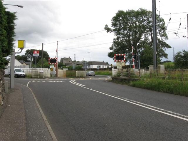
We don't yet have any user-contributed photos of Kirknewton Level Crossing.