Latitude: 54.2148 / 54°12'53"N
Longitude: -3.3167 / 3°18'59"W
OS Eastings: 314235
OS Northings: 480692
OS Grid: SD142806
Mapcode National: GBR 5M8P.RW
Mapcode Global: WH722.0BX7
Pluscode: 9C6R6M7M+W8
What3Words: cycled.comedy.flamenco
Is the location marker in the wrong place? You can help fix that!
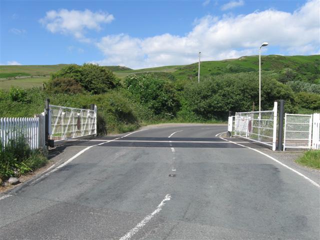
We don't yet have any user-contributed photos of Kirksanton Level Crossing.