Latitude: 52.3458 / 52°20'45"N
Longitude: -2.2256 / 2°13'32"W
OS Eastings: 384730
OS Northings: 271997
OS Grid: SO847719
Mapcode National: GBR 1D6.VJ6
Mapcode Global: VH921.C9SJ
Pluscode: 9C4V8QWF+8Q
What3Words: tight.single.blows
Is the location marker in the wrong place? You can help fix that!
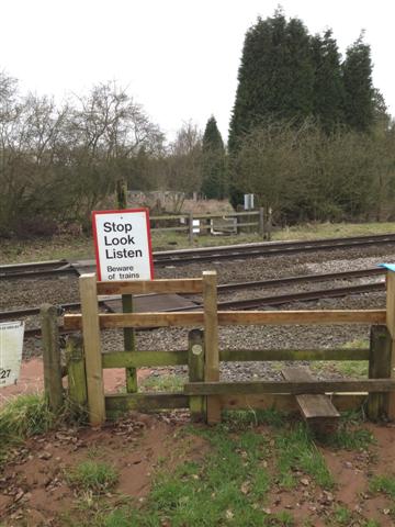
We don't yet have any user-contributed photos of Lambs Farm Level Crossing.