Latitude: 51.9066 / 51°54'23"N
Longitude: -1.1043 / 1°6'15"W
OS Eastings: 461714
OS Northings: 223501
OS Grid: SP617235
Mapcode National: GBR 9YQ.HLV
Mapcode Global: VHCX4.TB1Q
Pluscode: 9C3WWV4W+M7
What3Words: telephone.fees.alcove
Is the location marker in the wrong place? You can help fix that!
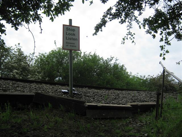
We don't yet have any user-contributed photos of Launton No.2 Level Crossing.