Latitude: 54.4578 / 54°27'27"N
Longitude: -0.8194 / 0°49'9"W
OS Eastings: 476634
OS Northings: 507573
OS Grid: NZ766075
Mapcode National: GBR QJQW.DS
Mapcode Global: WHF8X.D61Y
Pluscode: 9C6XF55J+46
What3Words: grazes.statement.mice
Is the location marker in the wrong place? You can help fix that!
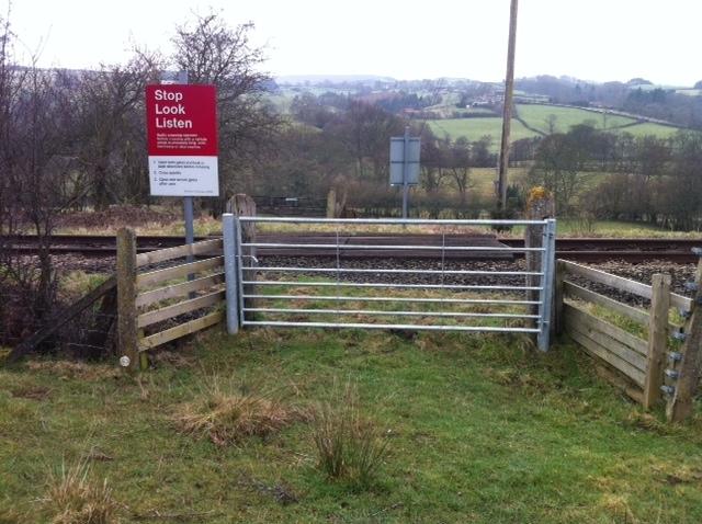
We don't yet have any user-contributed photos of Lealholmside Level Crossing.