Latitude: 52.8703 / 52°52'13"N
Longitude: -1.7427 / 1°44'33"W
OS Eastings: 417417
OS Northings: 330345
OS Grid: SK174303
Mapcode National: GBR 4BM.46T
Mapcode Global: WHCFY.63DW
Pluscode: 9C4WV7C4+4W
What3Words: pens.tripods.basic
Is the location marker in the wrong place? You can help fix that!
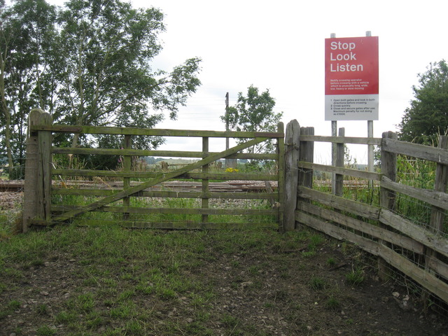
We don't yet have any user-contributed photos of Leathersley Farm No.2 Level Crossing.